
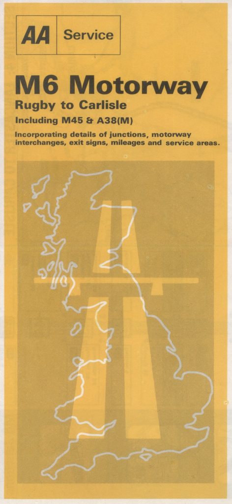
Another post in an occasional series – “Old maps found in charity shops“. This relates to a map published by the AA in 1973 and covers the M6 motorway in England.
The map is divided into 4 sections covering the motorway from Rugby to Carlisle. Not included is the more recent extension from Carlisle to near the Scottish border (opened 2008). Also missing is the M6 toll road (opened in 2003).
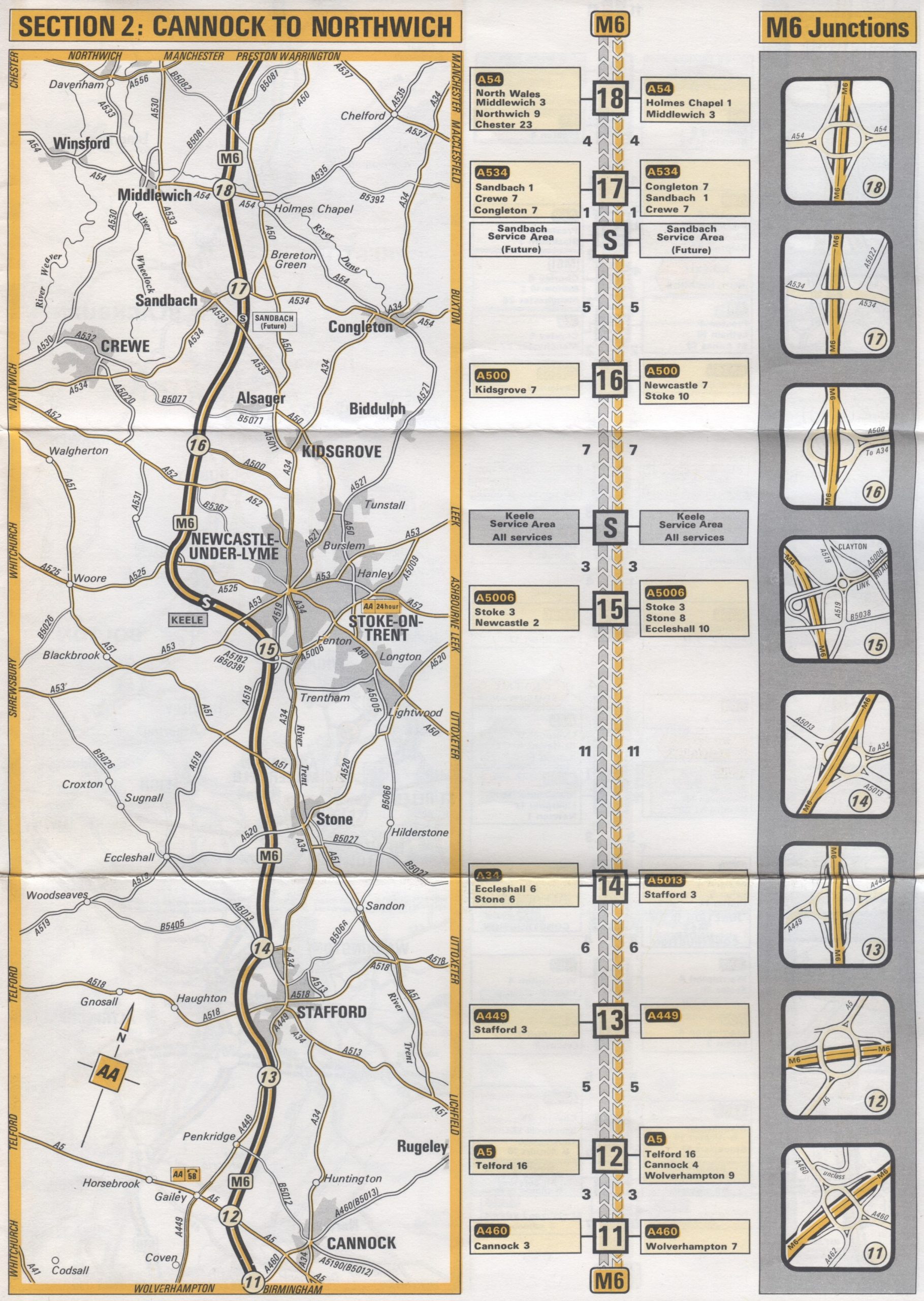
The main map is in the form of a “strip” map first used to map the English road network by John Ogilby in the 1670s.
The strip maps are supplemented by straight line diagrams, depicting the junctions and the distances between the junctions; and the roads intersecting those junctions and the possible destinations along those roads.
Finally, the map includes detailed junction diagrams.
The map is elegant and clutter free and a world away from the unholy mess that is Google Maps.
The map is copyright The Automobile Association 1973 and is based on Ordnance Survey mapping.