
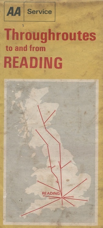
Another post in an occasional series – “Old maps found in charity shops“. This is an AA map, dated December 1970, that shows the driver how to get to Reading from any part of Great Britain.
Continue reading “Throughroutes to Reading”Another post in an occasional series – “Old maps found in charity shops“. This is an AA map, dated December 1970, that shows the driver how to get to Reading from any part of Great Britain.
Continue reading “Throughroutes to Reading”
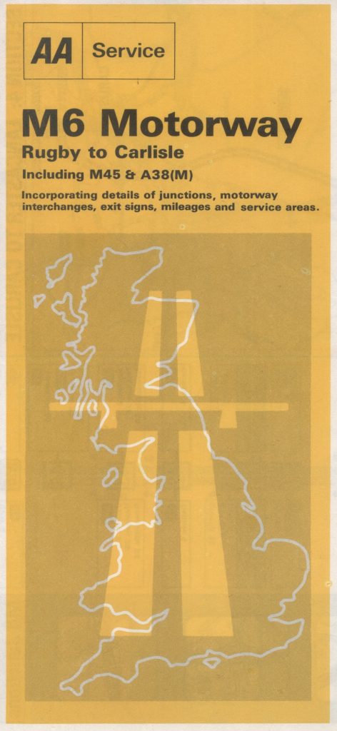
Another post in an occasional series – “Old maps found in charity shops“. This relates to a map published by the AA in 1973 and covers the M6 motorway in England.
Continue reading “The M6 Motorway”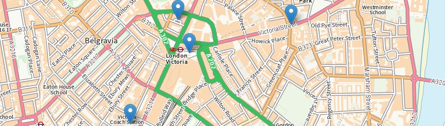
An exploration of the Ordnance Survey’s OS Names API using Leaflet.
The OS has made a number of APIs available via its DataHub. Individuals can sign up for the DataHub and use the APIs for no charge as long as usage is kept within reasonable limits. This is a great invitation to experiment. This particular exercise was based on the OS’s Find a name example using the JavaScript mapping library Leaflet.
Continue reading “What’s in a name?”