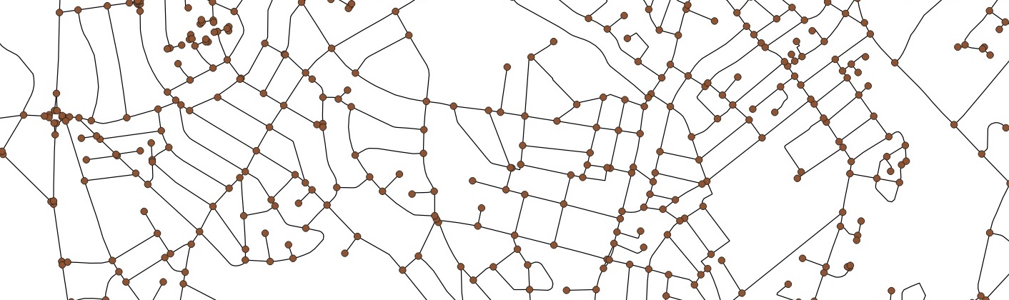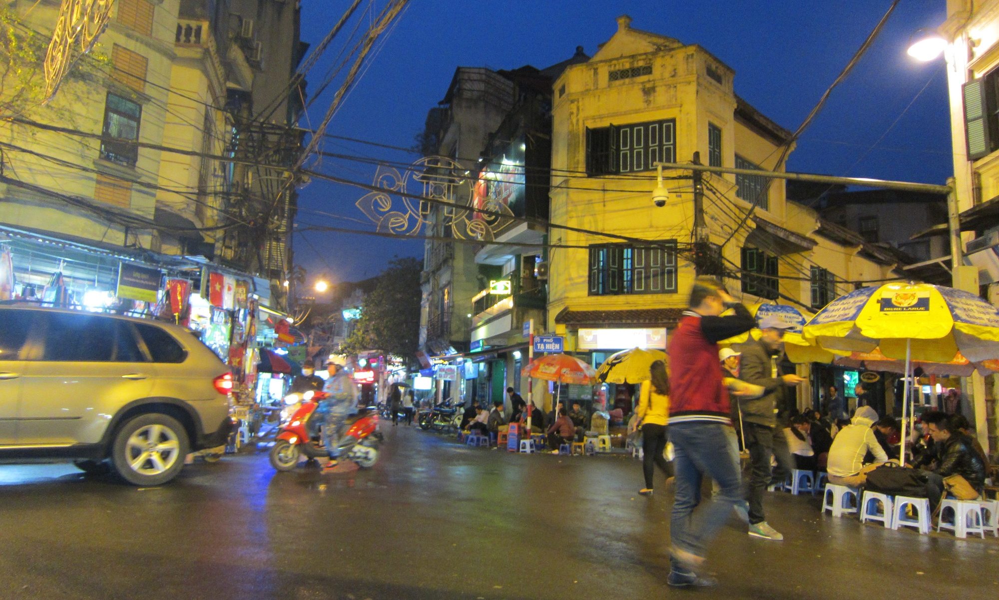
A while ago (pre-covid) I delivered a day of GIS training for a company where data science is a key part of what they do. The focus was on human rather than physical geography, so vector data rather than raster data. Since the course was based on QGIS and GeoDa, both open source tools, and we used open data for all of the examples, I thought it only fair to share the materials using a creative commons license. The link below is to the training materials.